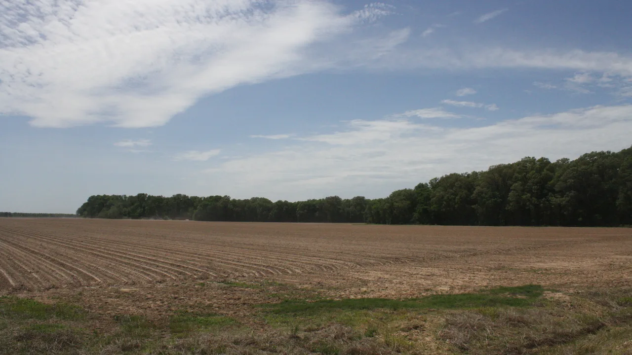
Drew and Lincoln counties had their driest January-through-September stretch since record keeping began in 1895, preliminary NOAA data show. The other six Southeast Arkansas counties each posted their second- or third-driest such stretch.
The dry year has pushed parts of the region into exceptional drought for the first time on U.S. Drought Monitor maps. The river near Warren is running near record lows, and all eight counties remain under burn bans Sunday.
Rainfall since January, county by county
NOAA’s National Centers for Environmental Information keep monthly rainfall estimates for every county back to 1895. The numbers below compare January through September 2026 with the 1991–2020 average for the same months. NOAA calls the 2026 figures preliminary, so they can change slightly after review.
- Drew County (Monticello): 23.64 inches, about 59 percent of the 40.38-inch average. Driest in 132 years, edging past 1936 (23.79 inches).
- Lincoln County (Star City): 24.02 inches, about 61 percent of the 39.27-inch average. Driest on record, just below 1925 (24.34 inches).
- Bradley County (Warren, Hermitage): 23.14 inches, about 56 percent of the 41.02-inch average. Second-driest, behind 1925 (22.76 inches).
- Cleveland County (Rison): 23.32 inches, about 57 percent of the 40.58-inch average. Second-driest, behind 1925 (21.80 inches).
- Desha County (Dumas, McGehee): 22.65 inches, about 57 percent of the 39.48-inch average. Second-driest, behind 1936 (22.28 inches).
- Ashley County (Crossett, Hamburg): 25.46 inches, about 61 percent of the 41.45-inch average. Second-driest, behind 1936 (21.98 inches).
- Chicot County (Lake Village): 23.89 inches, about 57 percent of the 41.64-inch average. Third-driest, behind 1986 and 1936.
- Dallas County (Fordyce): 24.01 inches, about 59 percent of the 40.98-inch average. Third-driest, behind 1936 and 1925.
Every county in the region is running 15 to 18 inches short of normal for the year so far.
Exceptional drought reaches new ground
The U.S. Drought Monitor has mapped drought every week since 2000. Exceptional drought, its worst category, had never appeared in Bradley, Chicot, Cleveland or Drew counties before this year.
- First appearance: Exceptional drought first showed up on the May 5 map in Bradley, Cleveland and Drew counties, then in Chicot on May 19.
- Peak: It covered about 95 percent of Drew County on the May 19 map, 65 percent of Bradley on May 5 and 56 percent of Chicot on May 19.
- Other counties: Ashley, Desha and Lincoln had brief spells of exceptional drought in earlier years. Desha reached 67 percent this May, its highest since the maps began. Dallas County has never been mapped in exceptional drought.
- Latest map (Oct. 13): Extreme drought or worse covers all of Ashley, Bradley, Chicot, Cleveland, Desha, Drew and Lincoln counties and about 75 percent of Dallas County. Exceptional drought covers about 33 percent of Desha, 24 percent of Chicot, 16 percent of Drew and 12 percent of Bradley.
The next Drought Monitor map comes out Thursday.
Saline River still near record lows
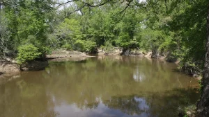
The U.S. Geological Survey gauge on the Saline River near Rye, north of Warren, read about 12 cubic feet per second at 7:15 a.m. Sunday. The median flow for Oct. 18 is 88 cubic feet per second, based on records that go back to 1938. The lowest flow on record for the date is 11 cubic feet per second, set in 1939. USGS calls recent readings provisional.
Daily flows at the gauge fell below the old record lows for several dates in mid-October, as iSEARK.com reported Oct. 16.
Burn bans stay in place
The Arkansas Forestry Division listed 49 counties under burn bans as of 7:27 a.m. Sunday. Ashley, Bradley, Chicot, Cleveland, Dallas, Desha, Drew and Lincoln counties are all on the list. The division now rates wildfire danger in all eight counties as high.
- Before you burn: County judges set burn bans. Check with your county judge’s office before any outdoor burning.
- Report a wildfire: Call 911 or the Forestry Division at 1-800-468-8834.
Look up your county’s records
iSEARK.com’s county records pages list rainfall, temperature, drought and river history for each county, along with population and public safety data.
Primary sources: NOAA National Centers for Environmental Information, Climate at a Glance county January–September precipitation series, 1895–2026 (2026 values preliminary, accessed Oct. 18, 2026); U.S. Drought Monitor county statistics, 2000 through the map dated Oct. 13, 2026; USGS Water Data for gauge 07363500, Saline River near Rye, Ark. (provisional, accessed Oct. 18, 2026); Arkansas Forestry Division Wildfire Danger and Burn Bans page as of 7:27 a.m. Oct. 18, 2026.